Skip to content
Search
Menu

These bookings earn us a commission through Viator. You pay the same, and the money played no part in the selection.

Plan your trip

Getting Around Grand Rapids

Last updated

Getting around Grand Rapids: the free DASH shuttle, The Rapid's flat bus fare, parking ramps, the airport 13 miles out and why you still want a car.

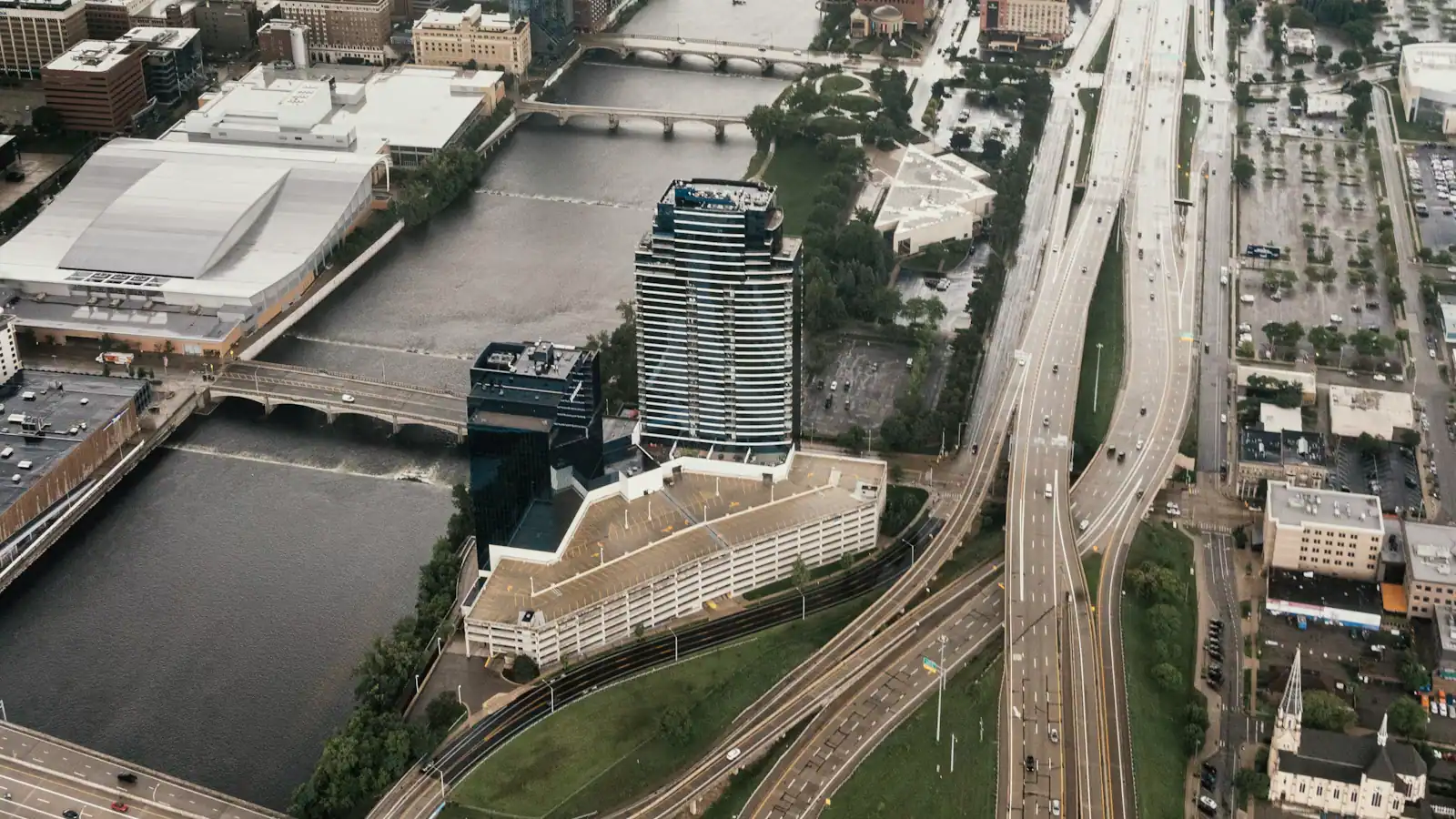
An aerial view of an expressway interchange cutting through an urban gridUnsplash

The honest answer is a split one. Downtown Grand Rapids is genuinely walkable and has a free shuttle looping through it, so a visitor who never leaves the core can manage three days without touching a car. Everything that makes the city worth the flight sits outside that core. Getting to Frederik Meijer Gardens means seven miles of Michigan Street heading east. Getting to John Ball Zoo means a bridge and then a hill. Blandford's trails sit six miles out on the north-west side, the big reclaimed park is beyond Grandville to the south-west, and the lake towns add another thirty miles on top of any of that. None of those is a comfortable bus trip with children or luggage.

So the rule most visitors should follow is: get a car, and then mostly leave it parked. Pick it up at the airport, which sits about thirteen miles south-east of downtown with the rental counters on site and an expressway run of fifteen or twenty minutes into the city. Put it in a ramp on the edge of the core. Use it for the days you are going east or west, and walk or ride the shuttle for everything else. That combination costs less in parking than keeping the car at a downtown hotel and driving four blocks at a time.

The city's geography makes this easy to hold in your head. Two expressways do the work: US-131 runs north to south straight through downtown on an elevated deck, with the exits for the arena, the hospitals and the west side hanging off it, and I-96 runs east to west with I-196 peeling away toward Holland and the lakeshore. Almost everything on this site is within fifteen minutes of one of those three roads.

Two things complicate the picture. The first is the river: the rapids restoration works mean the riverwalk is intermittent, so the pedestrian bridges rather than the banks are your reliable crossing. The second is snow. Roughly seventy-six inches falls in an average year and a lake-effect band can put several inches down in a couple of hours over one side of town. Winter does not stop this city moving, but it changes how much you should plan to drive in a day.

The free downtown shuttle, and what it actually covers

Local tips

  • It costs nothing. The Rapid runs the Downtown Area Shuttle, known locally as DASH, on loop routes through the core, and there is no fare, no ticket and nobody checking.
  • It links the parking to the attractions. The routes connect ramps on the edge of downtown with the arena district, the hospitals on Michigan Street, the museums and the hotel cluster. That is the mechanism that lets you park cheaply and still be in the middle of things.
  • Frequency is good on weekdays and different at weekends. Check the current timetable before building an evening around it rather than assuming a headway.
  • It does not go east to Meijer Gardens, and it does not go to the zoo. Its whole purpose is the core.
  • It is the right answer during ArtPrize. Downtown parking in that fortnight is the worst of the year, and a hotel a mile out plus the shuttle is both cheaper and faster than a room in the middle.
  • It is also the right answer on a beer evening. A free ride between downtown and the Monroe North end of the core removes the need for a designated driver on at least one leg.
  • In a snow band, allow extra time. The shuttle keeps running; the traffic around it does not keep moving.

Buses, bus rapid transit and the one train

The Rapid runs the city's fixed-route bus network, and two of its routes function as bus rapid transit. The Silver Line runs south along the Division Avenue corridor with dedicated stations, and the Laker Line runs roughly thirteen miles west to Grand Valley State University's Allendale campus. Both use the same flat single fare as the rest of the network, with a daily cap that makes several trips cheaper than several fares — the amounts change, so check the current schedule rather than a figure in an article.

For a visitor, the network is genuinely useful along the corridors and awkward across them. Getting from downtown to Meijer Gardens by bus is possible and slow; getting there by car is fifteen to twenty minutes. Decide on that basis rather than on principle.

Amtrak's Pere Marquette is the car-free option almost nobody knows about. One train each way, every day, between Vernon J. Ehlers Station at the south edge of downtown and Chicago Union Station, in roughly four hours, calling at Holland, Bangor and St. Joseph-Benton Harbor. The station is walkable from the arena district and sits on the free shuttle route.

The catch is the timetable. A single daily service means the train from Chicago arrives late in the evening and the train back leaves very early in the morning, so a day trip in either direction does not work. Confirm current times before planning around it.

Parking, and the trick locals use

What it costs

Downtown parking is metered on the street and charged by the hour in the ramps, with rates rising for arena events and during ArtPrize. None of it is expensive by big-city standards and all of it is more annoying than it needs to be on a busy night.

The local habit is worth copying: park in a ramp on the periphery of the core, where the hourly rate is lower and the queue to leave after an event is shorter, and take the free shuttle in. On an arena night that saves both money and the twenty minutes everyone else spends in an exit line.

A few specifics that matter. Hotel parking downtown is usually charged separately from the room, so factor it in when comparing a central hotel against one a mile out. Street meters are enforced, and the enforcement is real rather than decorative. Residential streets behind the restaurant districts on the east side have permit restrictions in places; read the signs rather than following the car in front.

Outside downtown, parking is free and easy almost everywhere: the neighbourhood restaurant streets, Blandford, the zoo, Meijer Gardens and most of the parks. Millennium Park has charged seasonally for vehicle entry at the beach area, so check that one.

In winter, watch for posted snow emergency routes and overnight restrictions, which exist so the ploughs can work and which are enforced when they are declared.
Walking, bikes and the river crossings

A person crossing a city street at a marked pedestrian crossingUnsplash
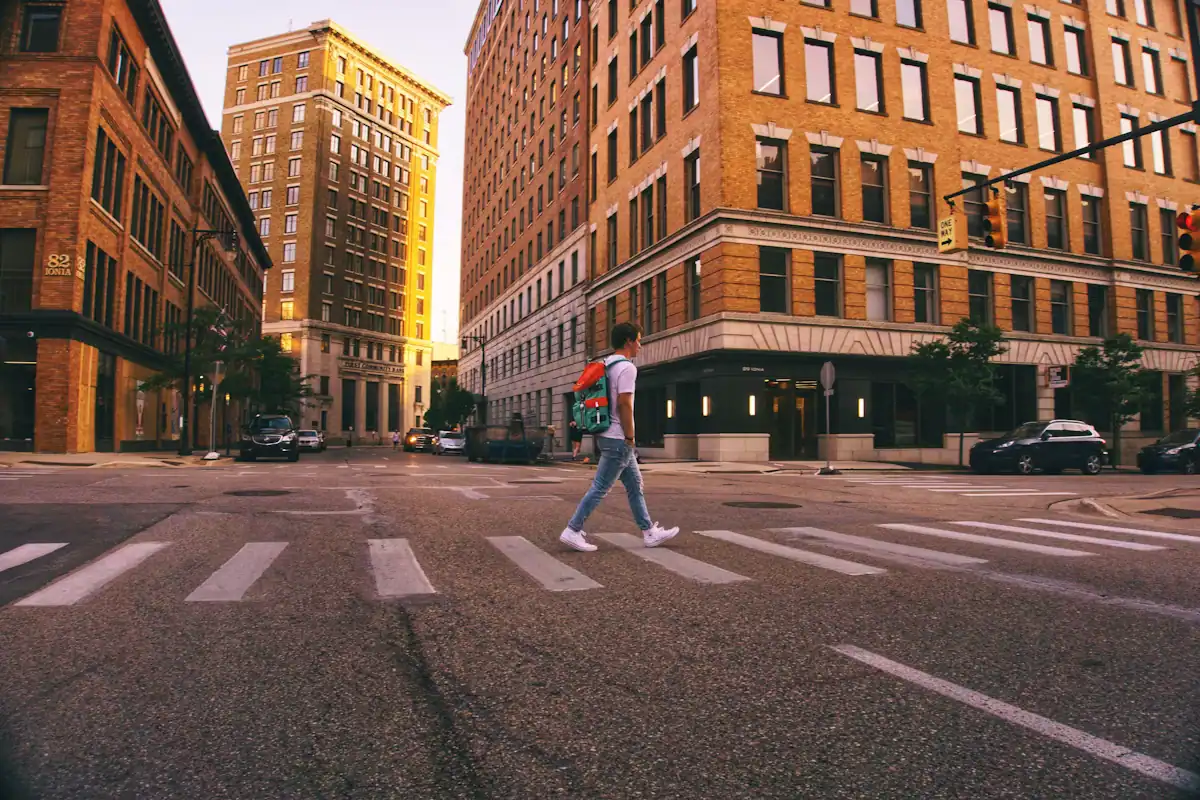
A person crossing a city street at a marked pedestrian crossing

The downtown grid is flat, regular and short-blocked, which makes walking the default for anything inside the core. From the main hotel cluster you are within fifteen minutes of the art museum, Calder Plaza, Rosa Parks Circle, the Public Museum, the arena and the Downtown Market. Heritage Hill starts three blocks east and immediately goes uphill, which is the only serious gradient a visitor meets on foot.

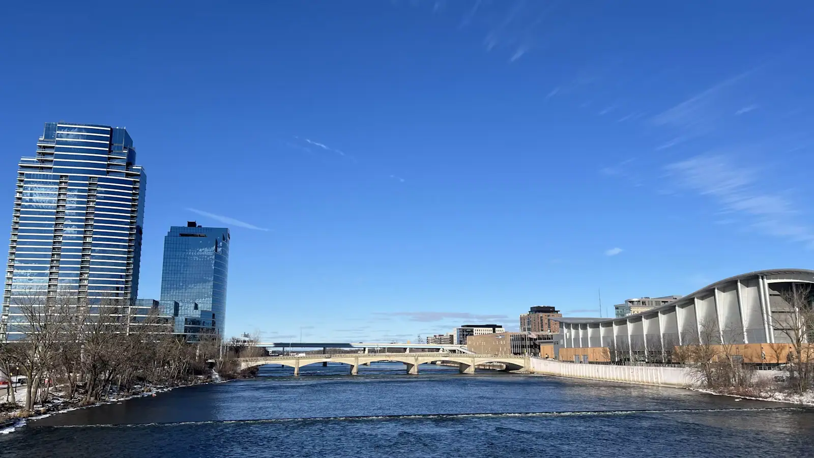
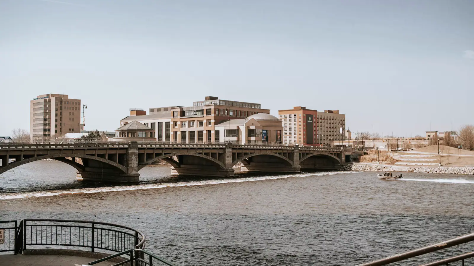
River crossings need a note. The riverwalk along the banks is currently interrupted in places by the rapids restoration works between Bridge Street and Fulton Street, and closures move as the work progresses. The pedestrian bridges themselves stay open and are the reliable way across, so plan your route around bridges rather than along the water.

Cycling works well in the warm months. The city has been steadily adding lanes and the flat grid helps, though the expressway decks and the bigger avenues are not pleasant riding and are best avoided. Trail riding is better than street riding here: the routes out toward Millennium Park and along the river corridor are the good ones.

From November through March, treat all of the above with more caution. Pavements ice, ploughed snow piles at kerb cuts, and the sensible winter default for anything beyond a few blocks is the shuttle rather than the walk.

Do you actually need a car?

How they compare

Your tripCar?Why
Conference, downtown hotel, two evenings freeNoThe museums, the arena, the market, Monroe North and the art block are all walkable, and the shuttle is free
Weekend for two, no childrenProbablyYou want Meijer Gardens, and you may want the lakeshore. A car for one of two days is reasonable
Family trip with young childrenYesThe zoo, the gardens, Blandford and Millennium Park are all drives, and none is pleasant with a stroller on a bus
ArtPrize in late SeptemberNoThe whole competition is inside a walkable core and parking is at its worst. Stay a mile out and ride the shuttle
Beer weekendNo, and deliberatelyThe districts are separated, which is exactly the argument for a shuttle, a rideshare and a booked tour rather than a car
Winter museum weekendOptionalDowntown works on foot. Add a car only for the day you drive east to the conservatory

The rideshare answer sits between these. Coverage downtown and across the near neighbourhoods is reliable; it thins out toward the lakeshore, where a return fare stops making sense against a rental day.

Driving here between December and March

Before you book

Lake-effect snow is the local mechanism and it behaves differently from a general storm. Cold air crosses Lake Michigan, picks up moisture and unloads it about thirty miles inland, which is precisely where this city sits. The bands are narrow: several inches can fall on the north-west side in two hours while the south-east stays dry, and the boundary can be a few streets wide.

The practical consequences for a visitor with a rental car are specific.

Take the all-wheel-drive option if it is offered, and check the car has a proper scraper and brush in it before you leave the lot. A hire car in a Michigan January without a scraper is a genuinely bad morning.

Allow more time than the distance suggests, not less. Road crews here are efficient because they have to be, but US-131 through the middle of the city slows badly during a band.

Reverse your plans rather than cancelling them. Keep the downtown walking day in reserve for a snow morning and drive east or west on the clear ones.

Be most careful heading to the lakeshore. The heaviest bands sit between here and the water, so the thirty-mile run west is the riskiest drive in the region on a bad day.

Watch the daylight. It is dark by late afternoon in January, which means the drive home from Meijer Gardens or Grand Haven is a night drive in weather.

On the ground

Where to go

Every place below has its own page — hours, parking, what it costs and what to expect when you get there.

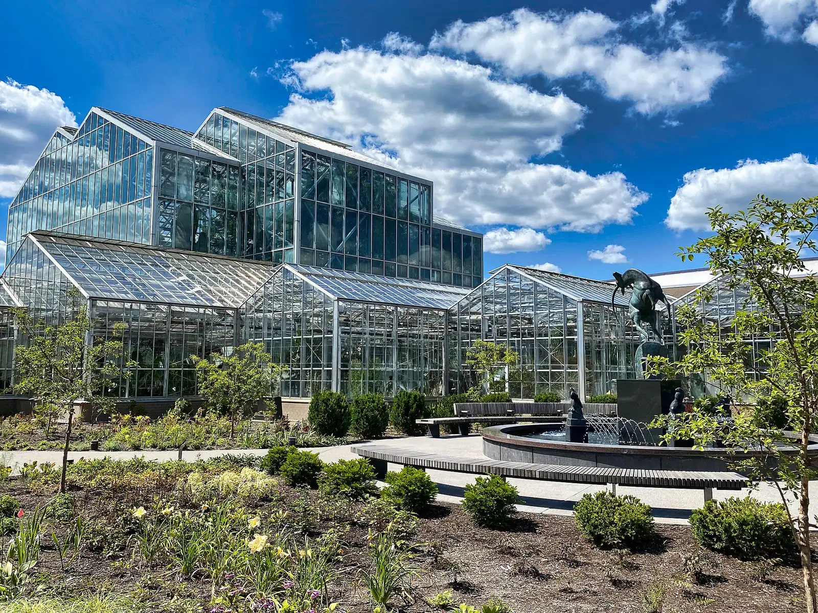
  • Tall tropical plants and palms growing under the glass roof of a large conservatory

    Park

    Frederik Meijer Gardens & Sculpture Park

    A grocery fortune turned into 158 acres of Rodin, Oldenburg and orchids, plus the one glasshouse in Michigan that fills up in February.

    2.5–5 hoursAround $20–25 per adult, with lower rates for seniors, children and members

  • Shoppers moving between produce stalls inside a covered market hall

    Shopping

    Free

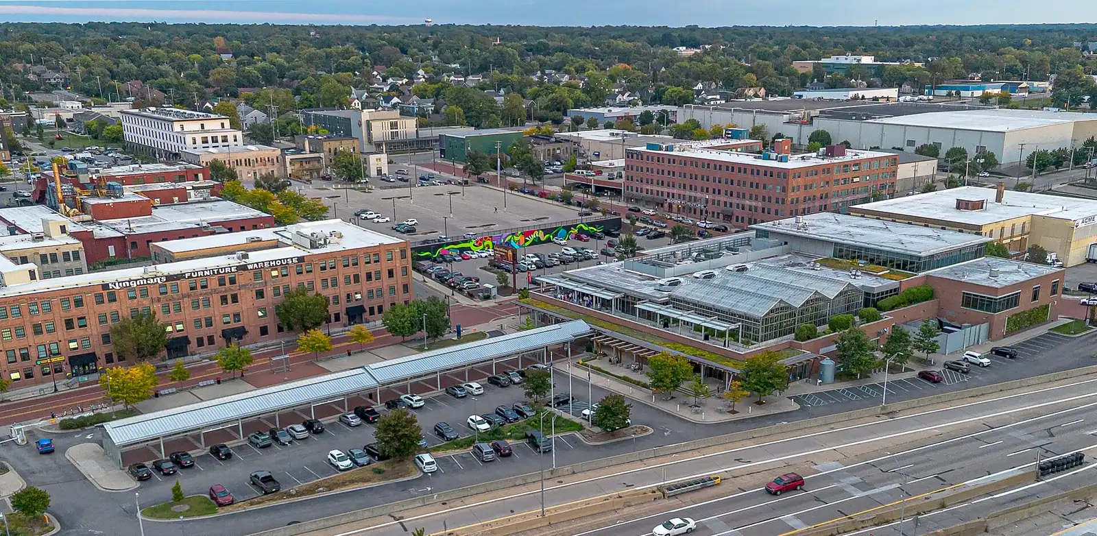
    Grand Rapids Downtown Market

    Twenty-odd food merchants under one roof, a 52-stall farmers shed outside, and a greenhouse growing on the second floor.

    1–2 hoursFree to enter; you pay the individual merchants

  • A child watching a tiger through the glass of a zoo enclosure

    Wildlife

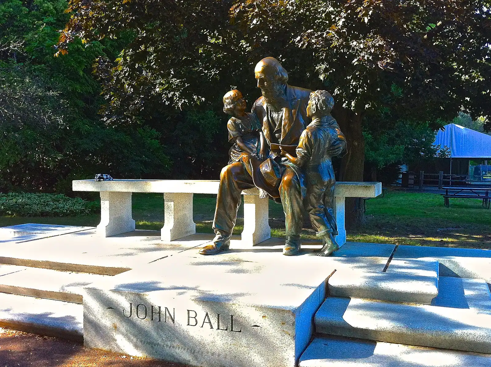
    John Ball Zoo

    A zoo built into a hillside, where a funicular carries you to the top so the rest of the day is downhill.

    2.5–4 hoursAround $22–27 per adult in season; lower for seniors and children, under-threes free

  • A blue steel pedestrian bridge crossing a river in front of downtown buildings

    Trail

    Free

    Grand River Riverwalk

    A downtown loop on both banks of a river that is currently being torn up so it can have its rapids back.

    1–1.5 hoursFree. Parking is the only cost and that is a downtown ramp

  • Stage lighting above an audience packed into an indoor arena

    Entertainment

    Van Andel Arena

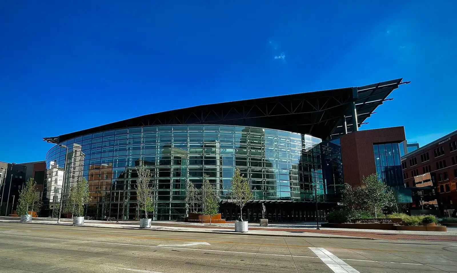
    The 1996 arena that pulled downtown Grand Rapids back to life, and still empties four thousand people onto Fulton Street at once.

    2.5–4 hoursTicketed by event; Griffins hockey is the cheapest way in

  • A sandy beach on calm inland water with trees along the far shore

    Park

    Millennium Park

    Fifteen hundred acres of former gypsum mine and gravel pit, now West Michigan's largest urban park, with a swimming beach in the middle.

    1.5–5 hoursPark free; the beach and splash pad area carries a daily charge

Straight answers

Questions people actually ask

Do you need a car in Grand Rapids?

For a downtown-only trip, no. The museums, the arena, the market and the art block are walkable and the DASH shuttle through the core is free. For anything else, yes. Seven miles of Michigan Street separate you from Meijer Gardens, the zoo is over a bridge and up a hill, Blandford is a north-western suburb, and the lake towns are a thirty-mile run. The usual compromise is to rent at the airport and leave the car in a ramp most of the time.

Is the DASH shuttle in Grand Rapids free?

Yes, completely. The Rapid operates the Downtown Area Shuttle on loop routes through the core with no fare and no ticket, connecting peripheral parking ramps with the arena district, the hospitals, the museums and the hotel cluster. It is the single most useful thing a visitor can know about moving around here. Frequency differs between weekdays and weekends, so check the current timetable before relying on it for an evening.

How far is Gerald R. Ford International Airport from downtown?

About thirteen miles south-east, which is a fifteen to twenty minute drive on the expressway in normal conditions. Rental counters are on site and there is no rail link, so it is a car or a rideshare. The airport is the second busiest in Michigan after Detroit and handles domestic routes only, which means an international arrival will connect through Detroit, Chicago or Atlanta before reaching Grand Rapids.

Can you get from Chicago to Grand Rapids by train?

Yes, on Amtrak's Pere Marquette, once a day each way, in roughly four hours, calling at Holland, Bangor and St. Joseph-Benton Harbor. The Grand Rapids end is Vernon J. Ehlers Station on the south edge of downtown, walkable to the arena district and on the free shuttle route. The limitation is the single daily service: the train arrives late from Chicago and leaves very early for it, so a day trip does not work.

How much is the bus in Grand Rapids?

The Rapid charges a flat single fare on its fixed-route network, including the Silver Line and Laker Line bus rapid transit routes, with a daily cap that makes several journeys cheaper than paying each time. Fares change, so check the current amount rather than trusting a figure in an article. The downtown DASH shuttle, which is what most visitors actually use, is free and has no ticket at all.

Where should you park in downtown Grand Rapids?

In a ramp on the edge of the core rather than in the middle of it. Peripheral ramps are cheaper by the hour and much faster to leave after an arena event, and the free DASH shuttle connects them to everything. Street meters are enforced properly, hotel parking is usually charged on top of the room rate, and rates across downtown rise during arena nights and the ArtPrize fortnight in late September.

Is Grand Rapids easy to drive in?

In good weather, yes — a flat grid, two expressways doing most of the work, and short distances. US-131 runs north to south through downtown on an elevated deck and I-96 runs east to west, with I-196 heading toward the lakeshore. Winter is the variable: lake-effect snow bands are narrow and intense, and the thirty-mile run west to the lake is the riskiest drive in the region on a bad day.

Can you walk along the Grand River in Grand Rapids?

Partly, and less than you would expect at the moment. Restoration work to return rapids to the downtown stretch began in the summer of 2026 between Bridge Street and Fulton Street and is expected to take about two years, so sections of the riverwalk close and reopen as the work moves. The pedestrian bridges stay open and are the reliable crossing. Check current closures before planning a walk along the water.