Excellent Quality
Holland Brew Pub Tour: History and Hops (opens in a new tab)
Discover the breweries in Downtown Holland, Michigan while learning about some of Hollands history and the history of the breweries. Enjoy…
3 hours
Prices checked
Trail
Last updated
A downtown loop on both banks of a river that is currently being torn up so it can have its rapids back.
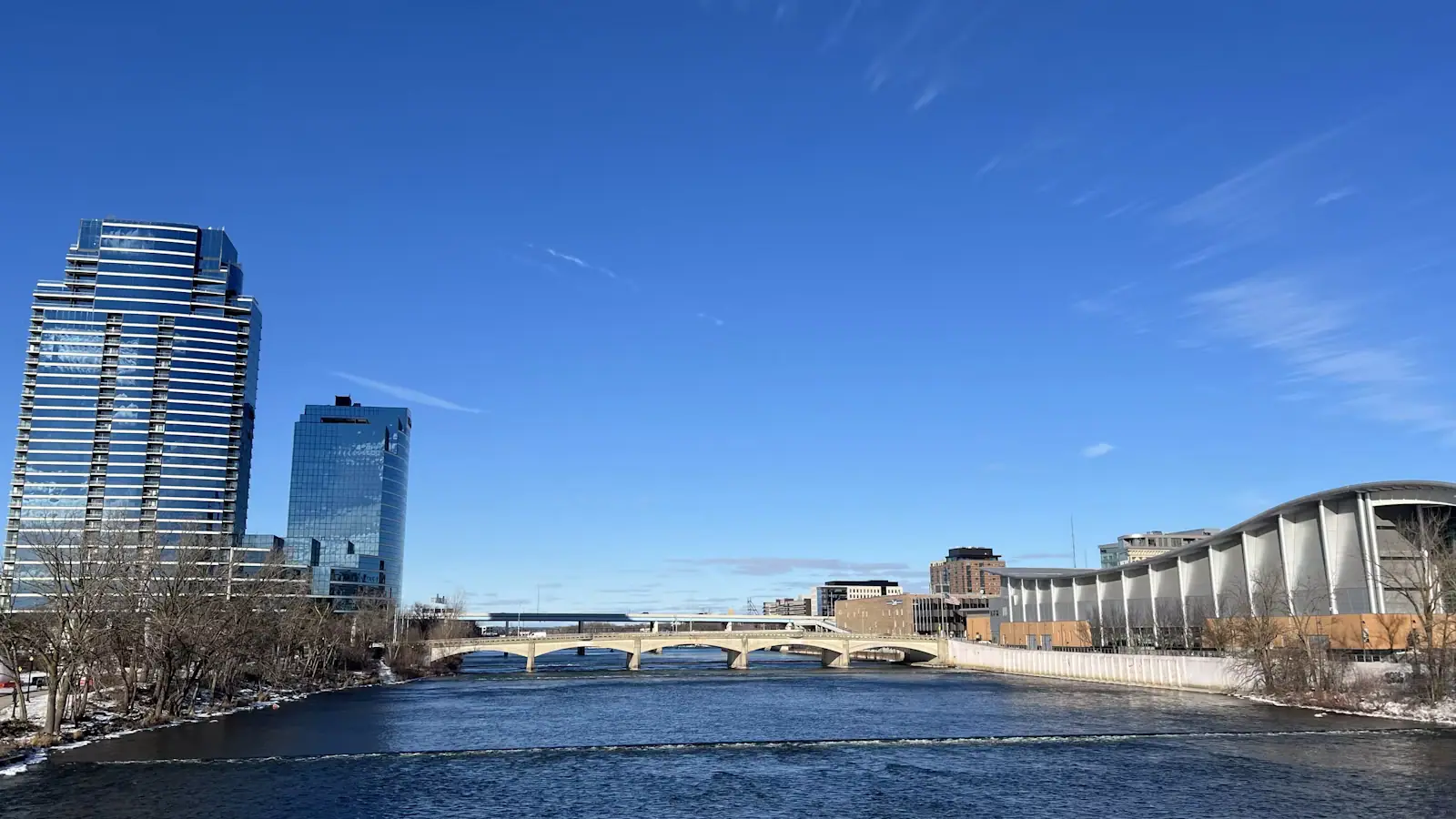
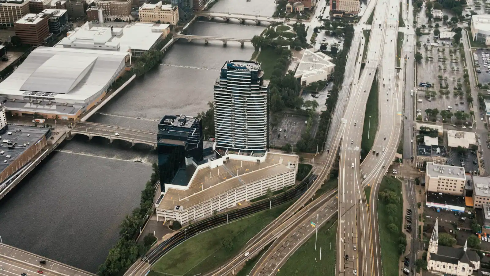
Grand Rapids is named for a set of rapids that have not existed for more than a century. Nineteenth-century dams, channel work and industry flattened them out, and the city spent decades turning its back on the water entirely. The riverwalk is the first half of the reversal: paved paths along both banks downtown, linked by pedestrian bridges into a loop of roughly two and a half miles, or about three and a half if you take the longer crossings.
The second half is under way right now, and a walker will see it. The Grand River Restoration project broke ground on its Lower Reach in 2026, between Fulton Street and Bridge Street, in the middle of downtown. Over roughly two years, four dams come out and engineered rock structures go in, designed to recreate whitewater, improve fish passage and give people a way down to the water. The city approved a construction contract of around $14.5 million with federal watershed funding of about $11 million behind it. A second phase, the Upper Reach, would remove and replace the Sixth Street dam, which currently acts as the first sea lamprey barrier on the river; that one is still in environmental study and has no start date.
So: this is an active construction zone as much as a promenade. Sections of the bank are fenced, routes reroute, and a path that worked last summer may not this one. It is also a rare chance to watch a city put a river feature back that it removed in 1866.
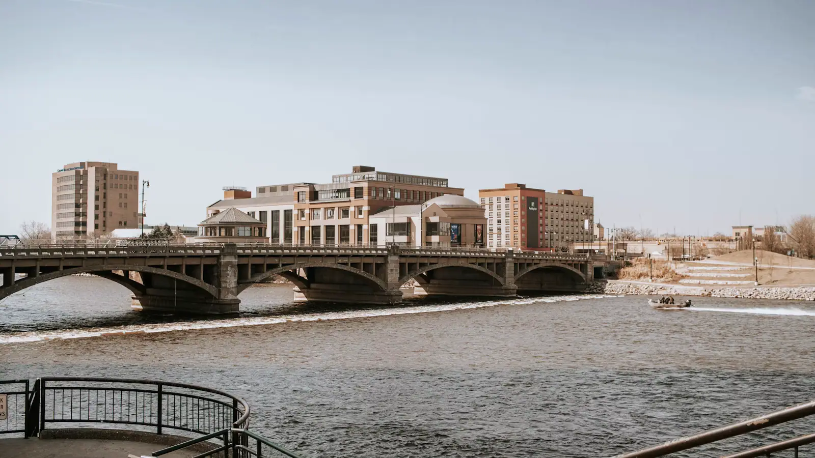
The bridges carry the walk. The Blue Bridge dates from 1892, was bought from a railway for a dollar and restored from 1987 as a pedestrian crossing. The Sixth Street Bridge, built in 1886 at 536 feet, is the oldest and longest metal truss bridge in Michigan.
Free, open at all hours, and best at dusk.
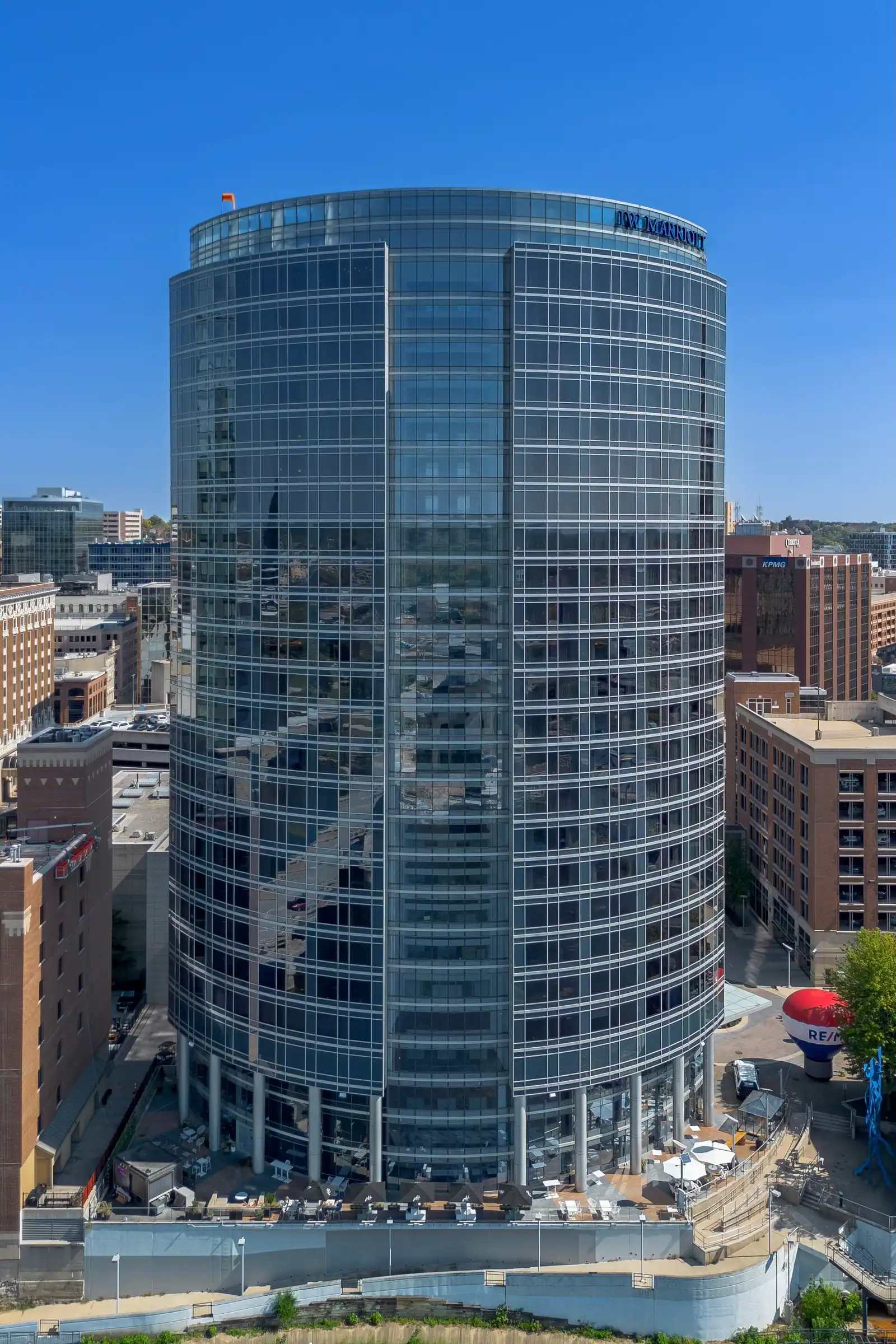
The riverwalk runs through the middle of downtown, so any downtown parking ramp puts you within five minutes of it. The Pearl Street, Front Avenue and Louis Campau ramps are the closest to the main loop.
The simplest access points are Ah-Nab-Awen Park on the west bank, the plaza behind the Grand Rapids Public Museum, and the east bank stairs down from Monroe Center. The DASH shuttle from the free peripheral lots drops within a couple of blocks of all three.
Construction on the Lower Reach between Fulton Street and Bridge Street closes and reroutes sections of bank path without much notice. Check current closures if you need a specific route, and be prepared to use street-level pavements for part of the loop.
This has been talked about since 2009 and is finally being built, which changes what a riverfront walk is like for the next couple of years.
Lower Reach, under construction. The stretch from Fulton Street to Bridge Street broke ground in 2026. Four dams are being removed and natural rock structures installed to restore flow, create whitewater features, improve habitat and open safe access to the water. The city commission approved a construction contract of around $14.5 million, supported by roughly $11 million from the federal watershed protection programme. The build is expected to take about two years.
Upper Reach, not yet started. The proposed second phase would remove and replace the Sixth Street dam. That dam is the first sea lamprey barrier on the Grand River, so any change has consequences for the whole Great Lakes fishery. The Great Lakes Fishery Commission has been studying the environmental impacts, a process expected to take around two years before design work can even begin.
What that means for a visitor. Fencing, plant, closed bank sections, rerouted paths and noise on the downtown stretch. Check current closures before planning a specific route. Also do not describe the rapids as restored: nothing is finished, and the whitewater is a construction outcome rather than a present feature.
The Blue Bridge has stood since 1892, built to carry a railway across the Grand. The city bought it from Conrail for one dollar, restoration began in 1987, and it reopened as a pedestrian crossing. It is painted the blue that gives it its name, it is the single most photographed structure in Grand Rapids, and it takes weddings, proposals and ArtPrize installations in roughly equal measure.
The Sixth Street Bridge is older and more serious: wrought iron, built in 1886, 536 feet long, the oldest and the longest metal truss bridge in the state of Michigan. It is a Michigan State Historic Site and is listed on the National Register. It carries traffic as well as pedestrians, so it is a working nineteenth-century structure rather than a preserved one.
Between and around them, the newer crossings are ordinary road bridges with pavements, which is fine — they are what makes the loop a loop rather than an out-and-back.
The river itself is Michigan's longest, running a little over 250 miles from the south of the state to Lake Michigan at Grand Haven. Downtown it is wide, brown after rain, and about to be substantially rearranged.
The riverwalk is the spine that ties downtown Grand Rapids together on foot, which matters in a city where the museums, the market and the arena are otherwise a series of separate drives.
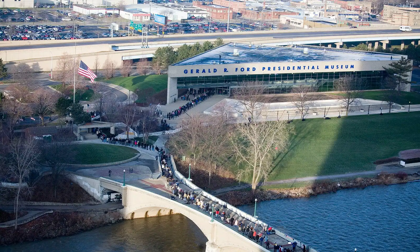
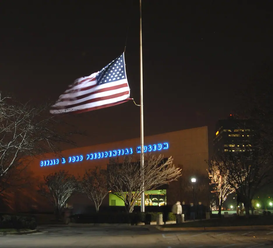
On the west bank, north to south: the Grand Rapids Public Museum with its carousel pavilion cantilevered toward the water, then Ah-Nab-Awen Park, then the Gerald R. Ford Presidential Museum with the Ford gravesite on its north lawn. All three are within a ten-minute walk of each other.
On the east bank, the path runs behind the downtown blocks and gives access up into Monroe Center, Rosa Parks Circle and the art museum, and north toward the Monroe North taprooms.
During ArtPrize in the autumn, both banks and both pedestrian bridges become exhibition space, and the riverwalk turns into the busiest pedestrian route in the city for two and a half weeks.
A wider riverfront parks and trails programme is extending and rebuilding this network alongside the in-river work, so expect the route to be better in three years and messier in the meantime.
Operators run these trips past Riverwalk, or stop there as part of a longer route. We list what the booking data supports — not everything that mentions the name.
These bookings earn us a commission through Viator. You pay the same, and the money played no part in the selection.

Excellent Quality
Discover the breweries in Downtown Holland, Michigan while learning about some of Hollands history and the history of the breweries. Enjoy…
3 hours
Prices checked

Low Supplier Cancellation Rate
Discover endless thrills at Allegan Adventure Park, home of Michigan's largest indoor ropes course — where the thrill of adventure awaits…
2 hours
Prices checked

Olive Oil Tasting
Discover the flavors of downtown Grand Rapids on this guided walking food tour! Sample a delightful mix of savory and sweet dishes from…
3 hours
Prices checked

Private and Luxury
Discover the rich history and modern innovations of Holland, MI, on this engaging, pet friendly, guided tour. Explore significant…
2 hours
Prices checked

Food & Drink
Step into a warm and inviting home kitchen for a hands-on Indian cooking experience that immerses you in the heart of India’s culinary…
3–4 hours
Prices checked
Straight-line distances, so allow more on the road — the island is long and has one main parkway.

Park
Six and a half acres on the west bank whose name means resting place, with grass mounds that stand for the burial mounds once here.
0.5–1 hoursFree. Some festivals held in the park are separately ticketed0.2 mi away

Museum
A presidential museum on the riverbank where the 38th president and his wife are buried a short walk from the front door.
1.5–2.5 hoursAround $15–20 per adult; the gravesite on the grounds is free to visit890 ft away

Museum
A 76-foot whale hangs over the Galleria, an 1890s street runs through the basement, and the 1928 carousel turns beside the river.
2–3.5 hoursAround $12–16 per adult; carousel rides and planetarium shows cost extra430 ft away

Dining district
The furniture district that built the city, now lofts, offices and the brewery that moved back in a decade after Founders moved out.
1–3 hoursFree to walk. You pay for what you drink and eat.0.7 mi away
Where this place fits into a day, and the pages that plan one.

Guide hub
Furniture paid for this city, and then it paid for everything worth coming to see in it. That is the single idea a visitor needs. Grand Rapids made…

Guide hub
A city of two hundred thousand people should not have this list. Grand Rapids does, and the reason is a hundred and fifty years of manufacturing…

Plan your trip
The honest answer is a split one. Downtown Grand Rapids is genuinely walkable and has a free shuttle looping through it, so a visitor who never…

Budget
The free list in Grand Rapids is not the list you fall back on when the museum tickets are too expensive. In this particular city it contains three…

Things to do
Almost nothing green in Grand Rapids is original. The largest park in the city is fifteen hundred acres of former gypsum workings and gravel pits…

Guide
An open competition with no entry jury, hundreds of venues that are mostly not galleries, and a public vote worth a hundred thousand dollars. Here is how to see it without wasting a day.
5 min readIlse Hoekstra

Guide
A restored Frank Lloyd Wright house, an art museum one day a week, the first artwork the NEA ever helped pay for, and a Maya Lin park you can skate on. None of it costs anything.
5 min readIlse Hoekstra

Guide
Michigan's second city is a furniture town that spent its furniture money on art. Here is how the address grid works, what is walkable, and what needs a car.
6 min readMarguerite Vanderhoff
Not yet. Construction on the Lower Reach of the Grand River Restoration broke ground in 2026 between Fulton Street and Bridge Street, removing four dams and installing engineered rock structures over a build expected to take around two years. A second phase covering the Sixth Street dam remains in environmental study with no start date. Until that work finishes, the downtown river is a construction site rather than a whitewater feature.
The compact downtown loop using the nearest pedestrian crossings runs about two and a half miles, and swinging wider to include the Sixth Street Bridge takes it closer to three and a half. It is flat throughout and paved on both banks. Sections are currently fenced or rerouted for the river restoration works, so allow extra time and check current closures before planning a specific circuit.
A pedestrian bridge over the Grand River that began life as a railway crossing in 1892. The city bought it from Conrail for one dollar, restoration started in 1987, and it reopened for walkers painted the blue that gave it its name. It is the most photographed structure in the city, the best downtown skyline view, and a regular ArtPrize venue in the autumn.
Yes. The paths on both banks are public and open at all hours, year round. The only cost is parking, and any downtown ramp puts you within five minutes of the water. The free peripheral lots served by the DASH shuttle are the cheapest option. Winter clearing is inconsistent and the river channel funnels cold wind, so dress for more than the forecast suggests.